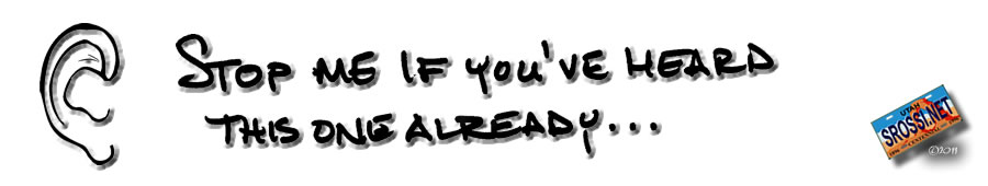
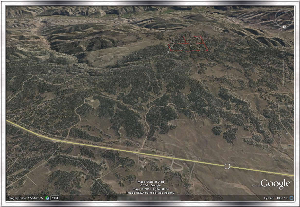
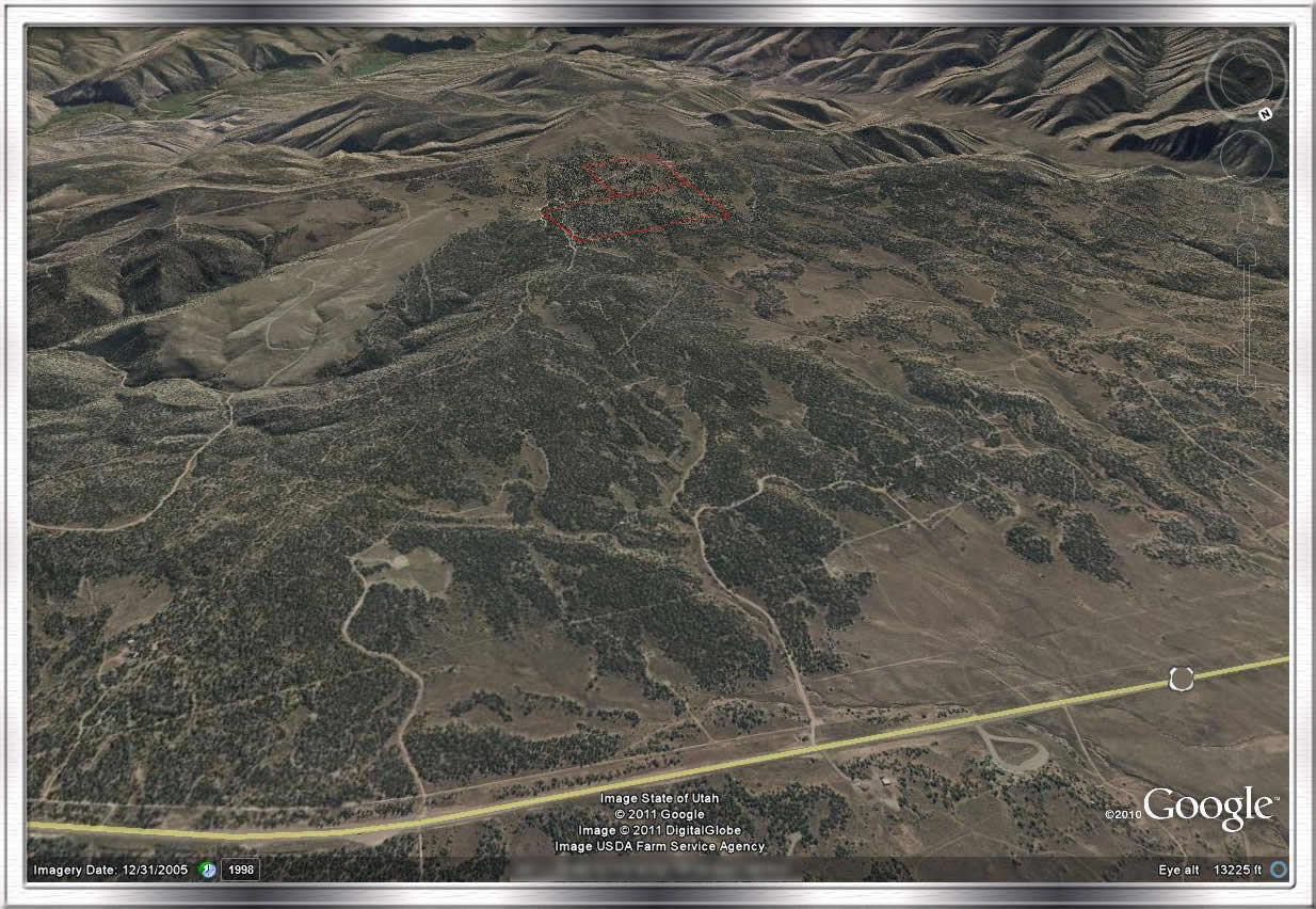
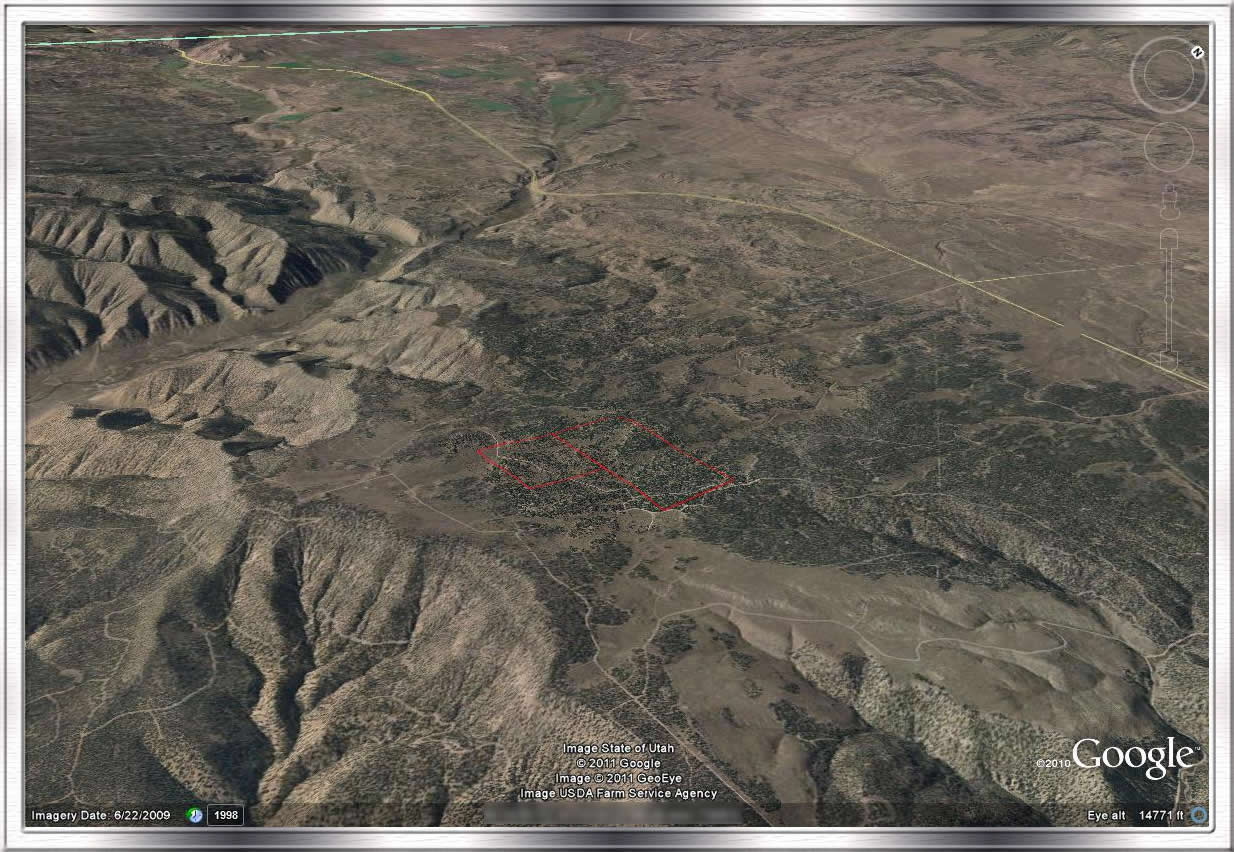
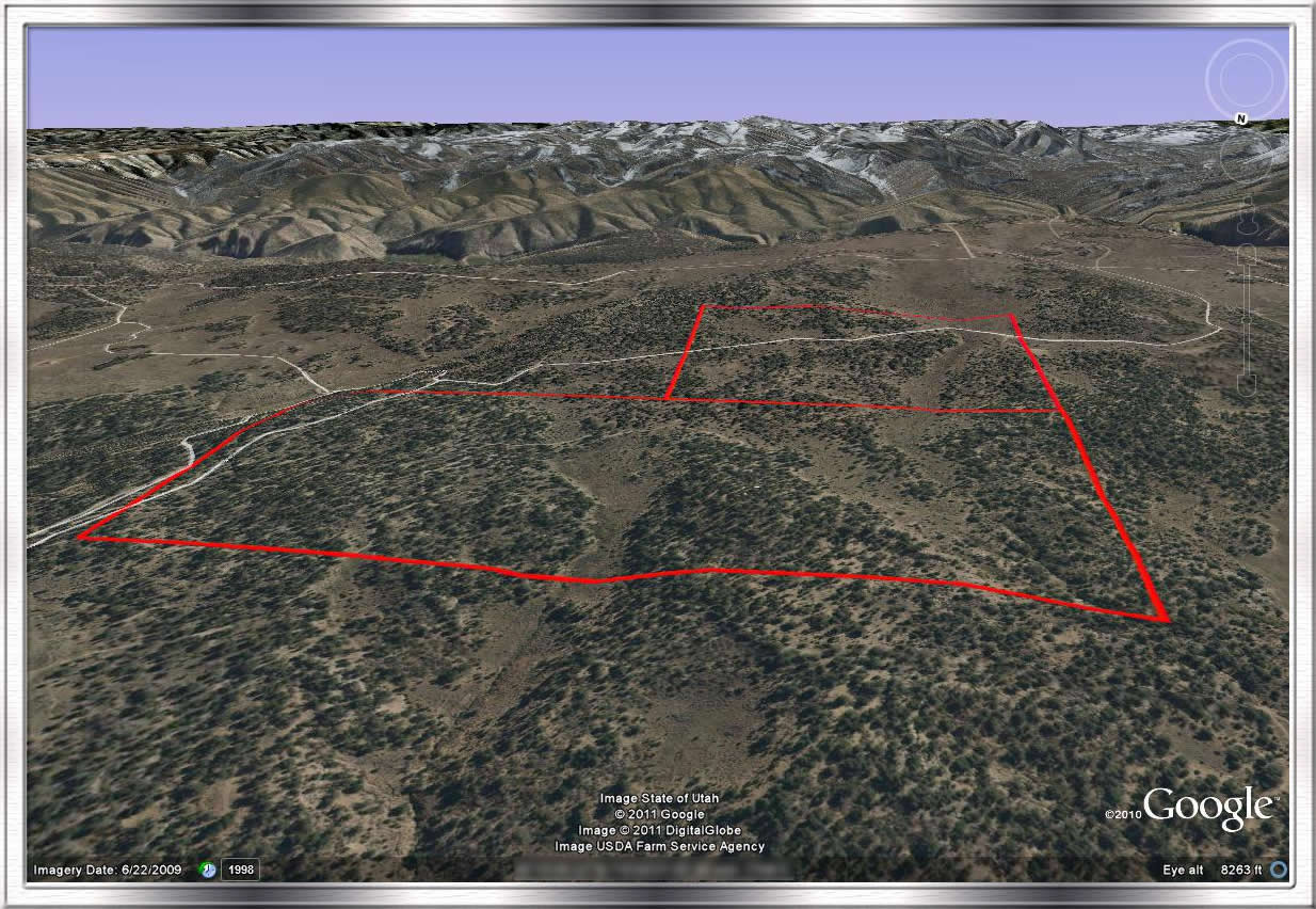
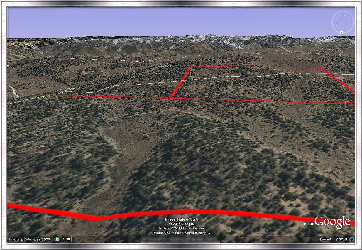
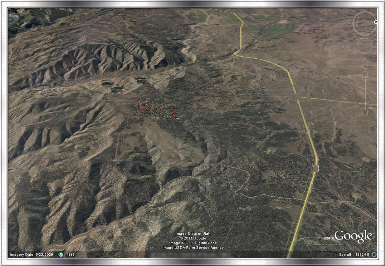
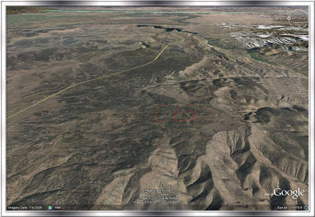
Using topographical maps, Google Maps, Macromedia Fireworks and Google Earth, I came up with these “aerial” photos. The border lines to the property should be pretty accurate and I really liked the perspective on them.
Post a Comment

No comments:
Post a Comment